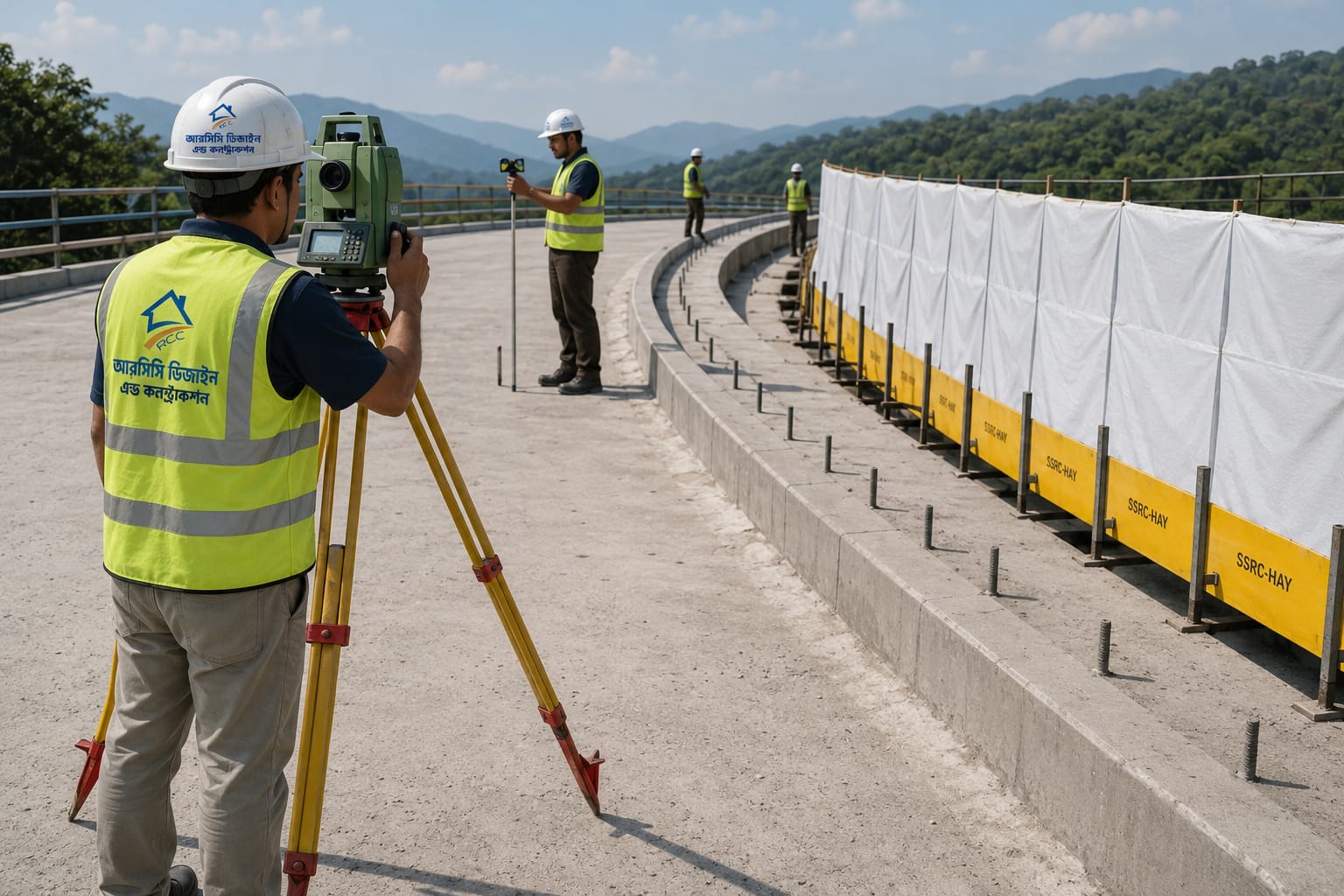
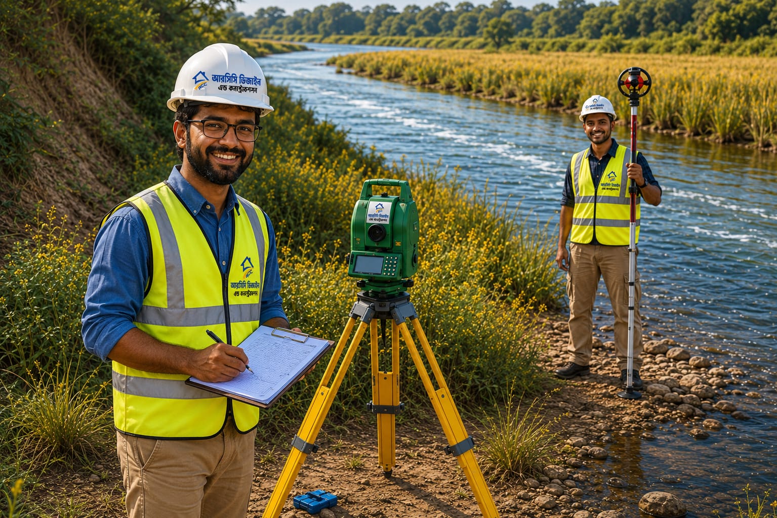
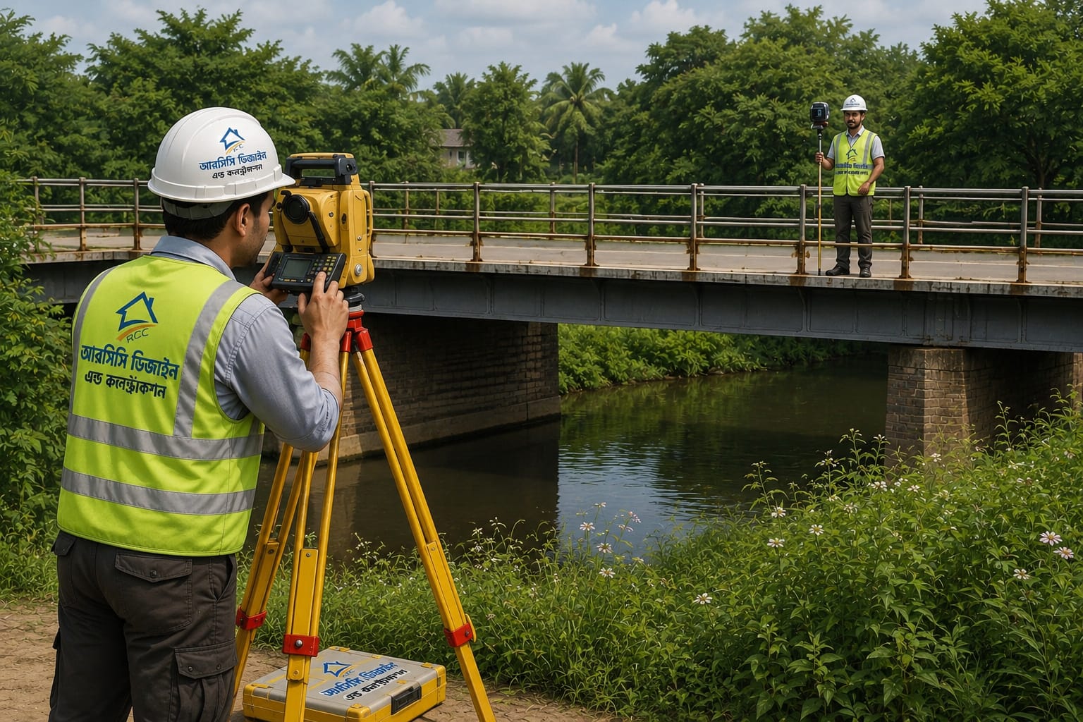
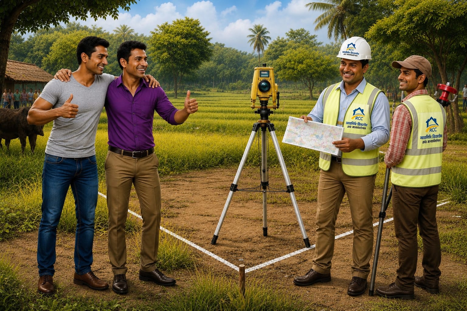
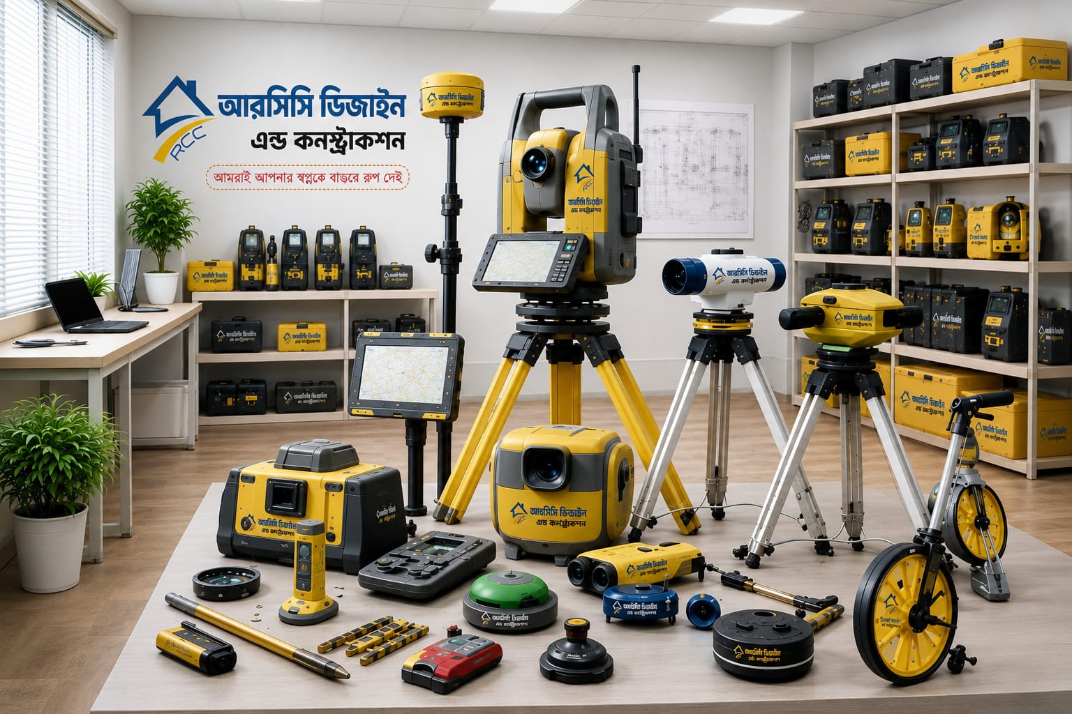
Accurate surveying is the foundation of every successful engineering and construction project. At RCC Design & Construction (RCCDC), we provide comprehensive survey services using advanced digital equipment and modern surveying techniques to ensure precise measurements and reliable data. Whether it is a residential, commercial, industrial, or infrastructure project, our experienced survey engineers deliver detailed site information that supports effective planning, design, and construction.
Our survey solutions help clients identify existing site conditions, property boundaries, elevations, and topographical features with exceptional accuracy. By combining professional expertise with state-of-the-art technology, we minimize project risks, reduce construction errors, and ensure compliance with engineering standards. From initial land assessment to final construction layout, we are committed to delivering dependable survey results that contribute to the long-term success of every project.
100 Satisfaction Guarantee
Export And Profession Enginers
We Are Award Winning Company
Full Satisfaction Guarantee
Professional Qualified
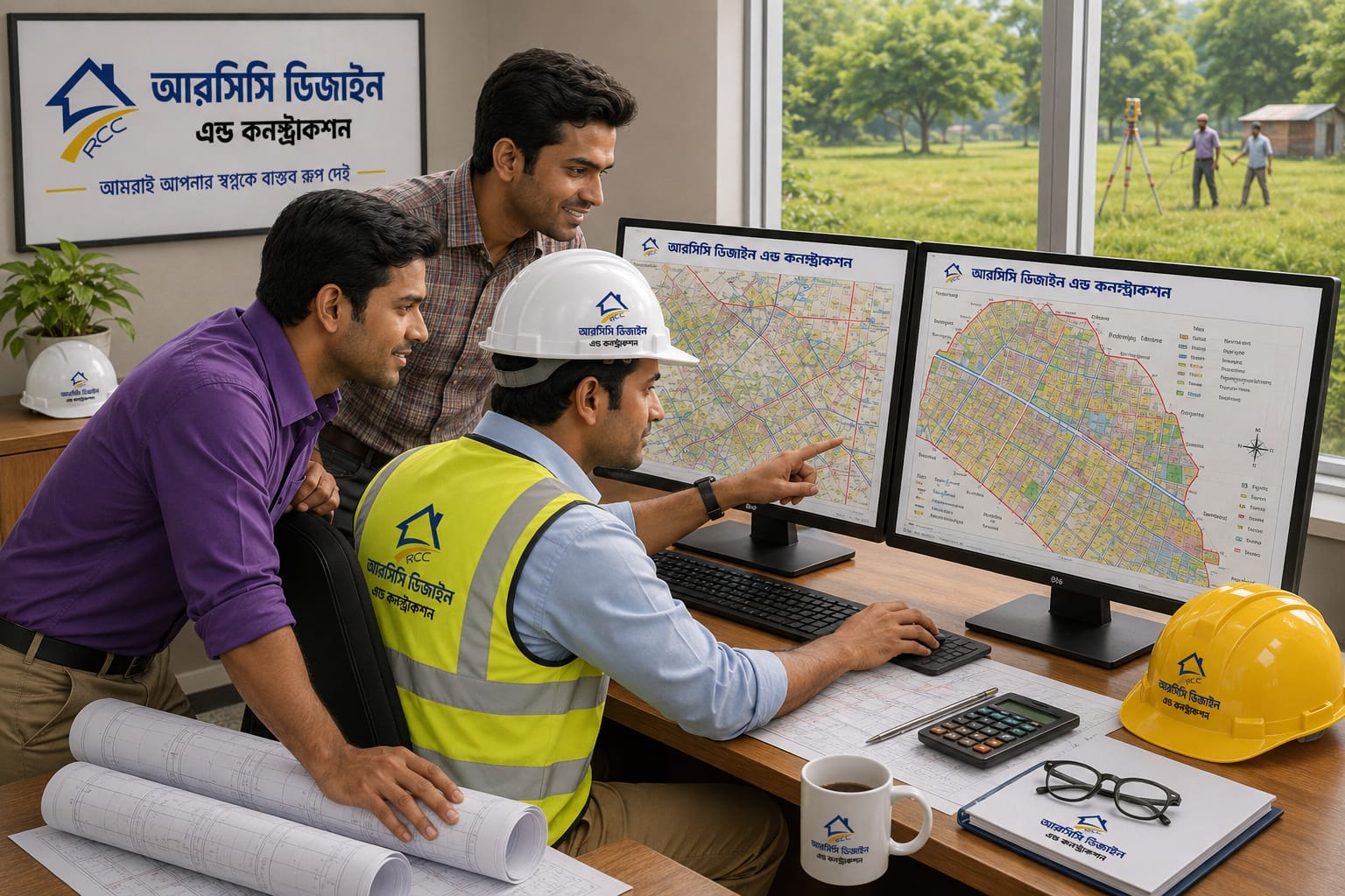
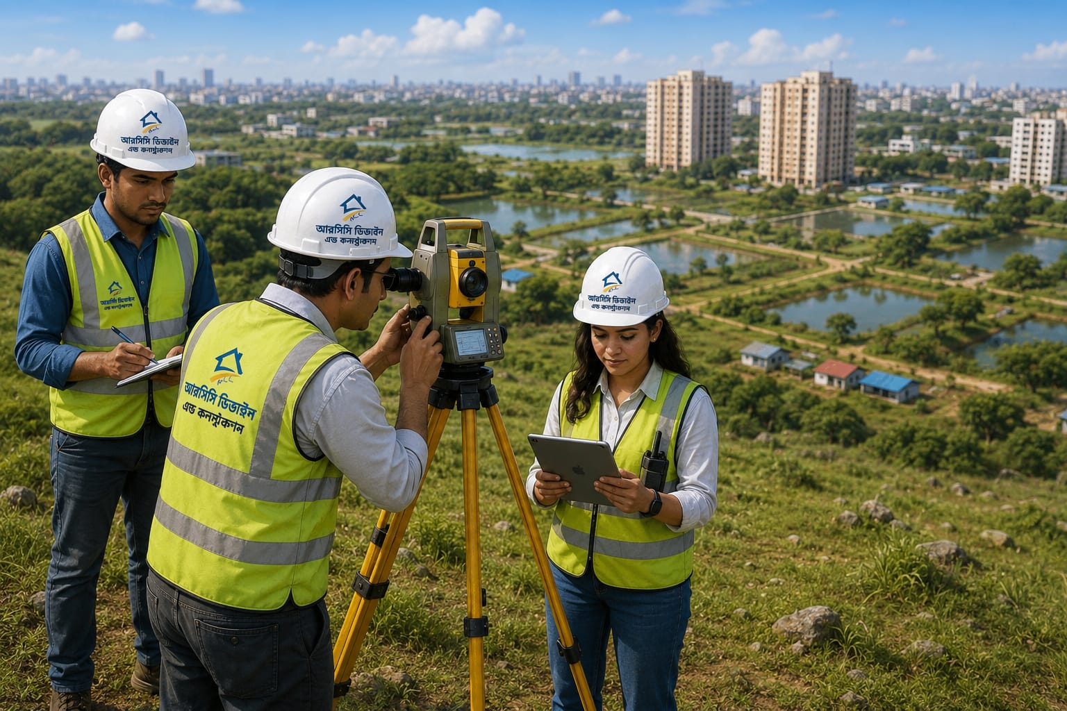
Digital Topographic Survey
Detailed digital mapping of land features, elevations, roads, buildings, canals, bridges, schools, colleges, and plots to support accurate planning, design, and construction.
Layout Survey
Precise marking and positioning of buildings, roads, foundations, and structural elements according to approved engineering drawings before construction begins.
Road Alignment Survey
Professional route alignment surveys to determine the most suitable road path, ensuring proper direction, elevation, gradient, and construction feasibility.
Contour Survey
Accurate contour mapping to identify ground elevations, slopes, and terrain variations, helping engineers design effective drainage, roads, and site developments.
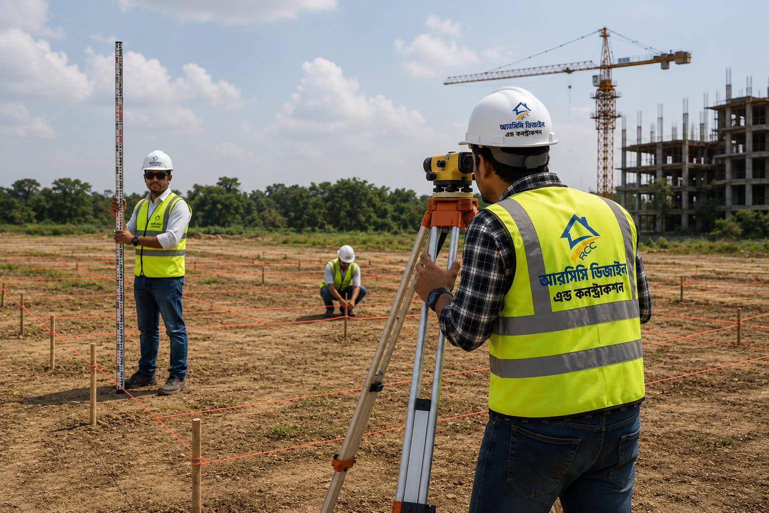
Leveling Survey
High-precision elevation measurements used to establish reference levels for buildings, roads, drainage systems, and other civil engineering projects.
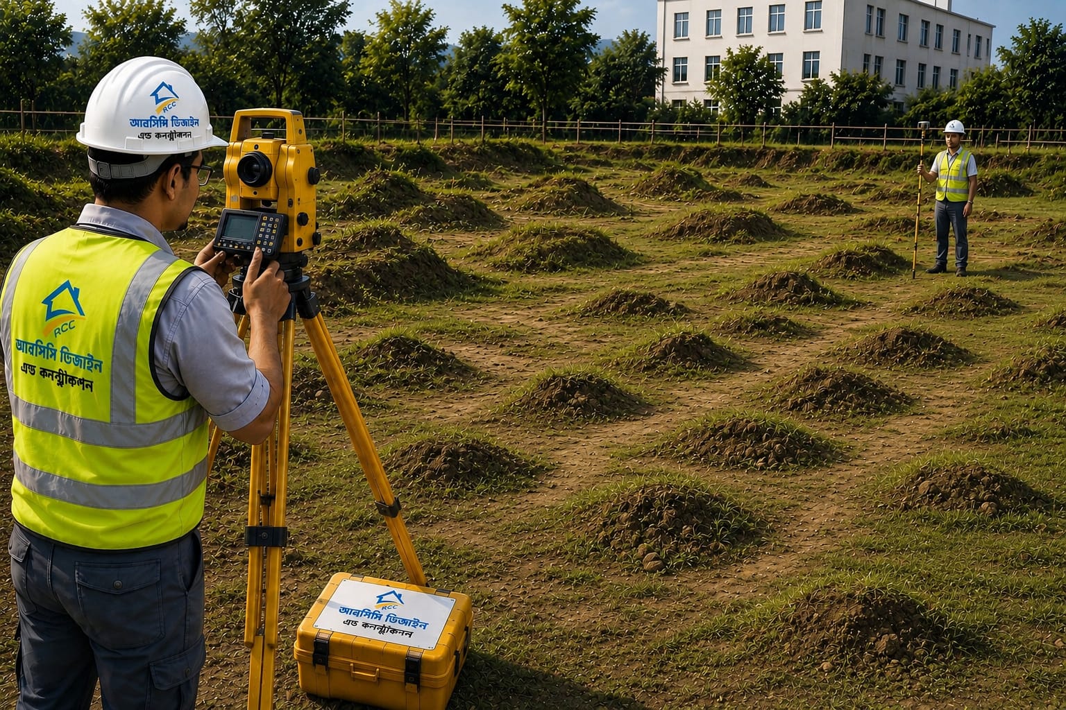
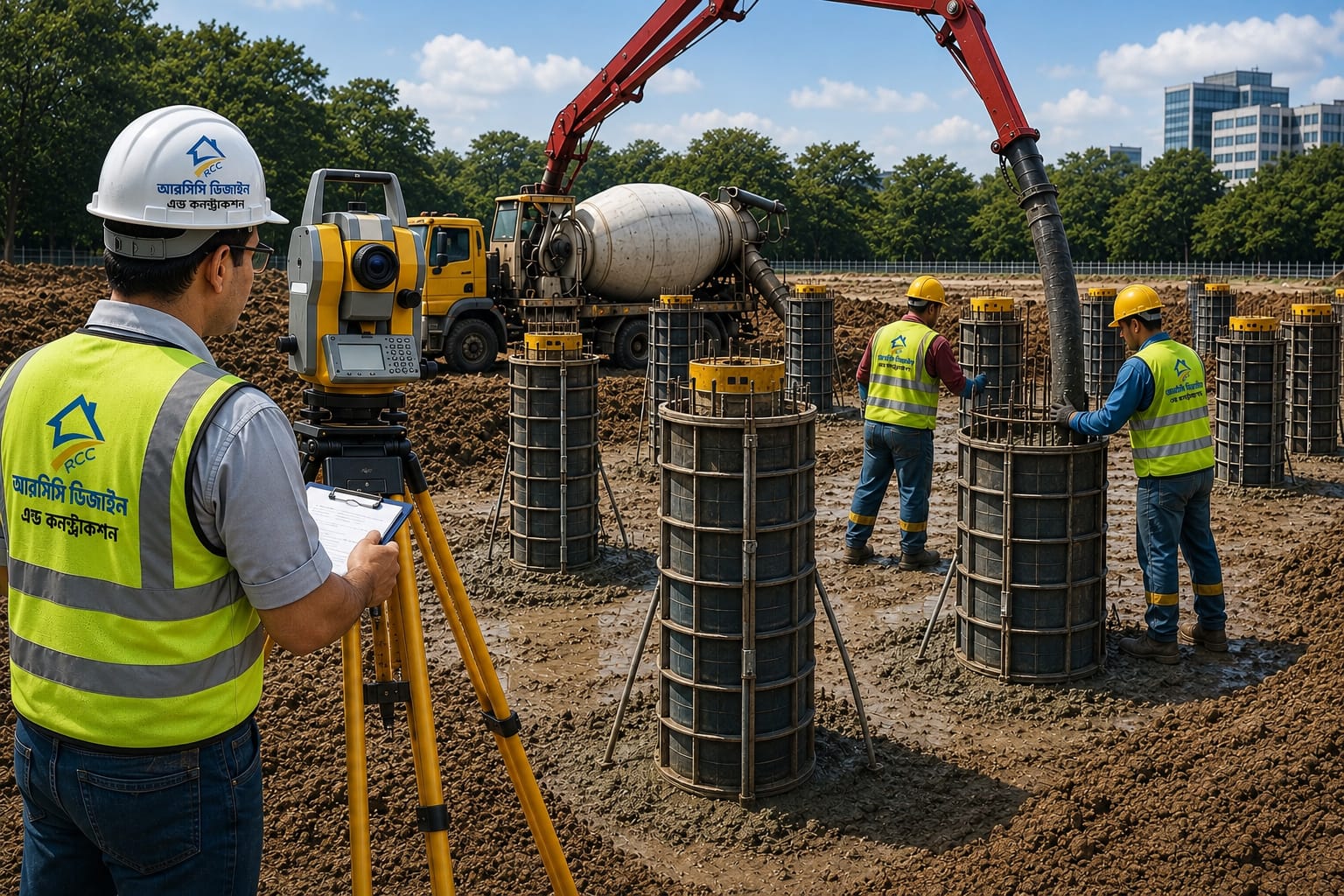
Pile Layout Survey
Accurate setting out of pile locations according to structural drawings, ensuring proper foundation alignment and minimizing construction errors.
Earth Volume Calculation
Calculation of excavation and filling volumes using advanced surveying techniques to support project planning, budgeting, and earthwork management.
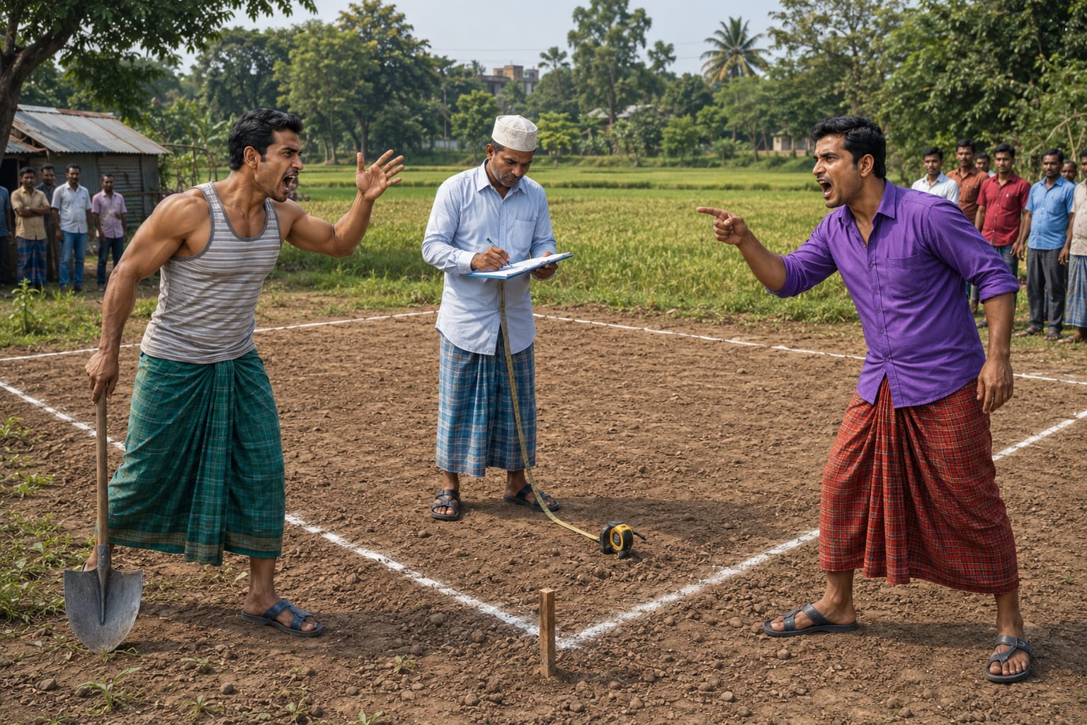
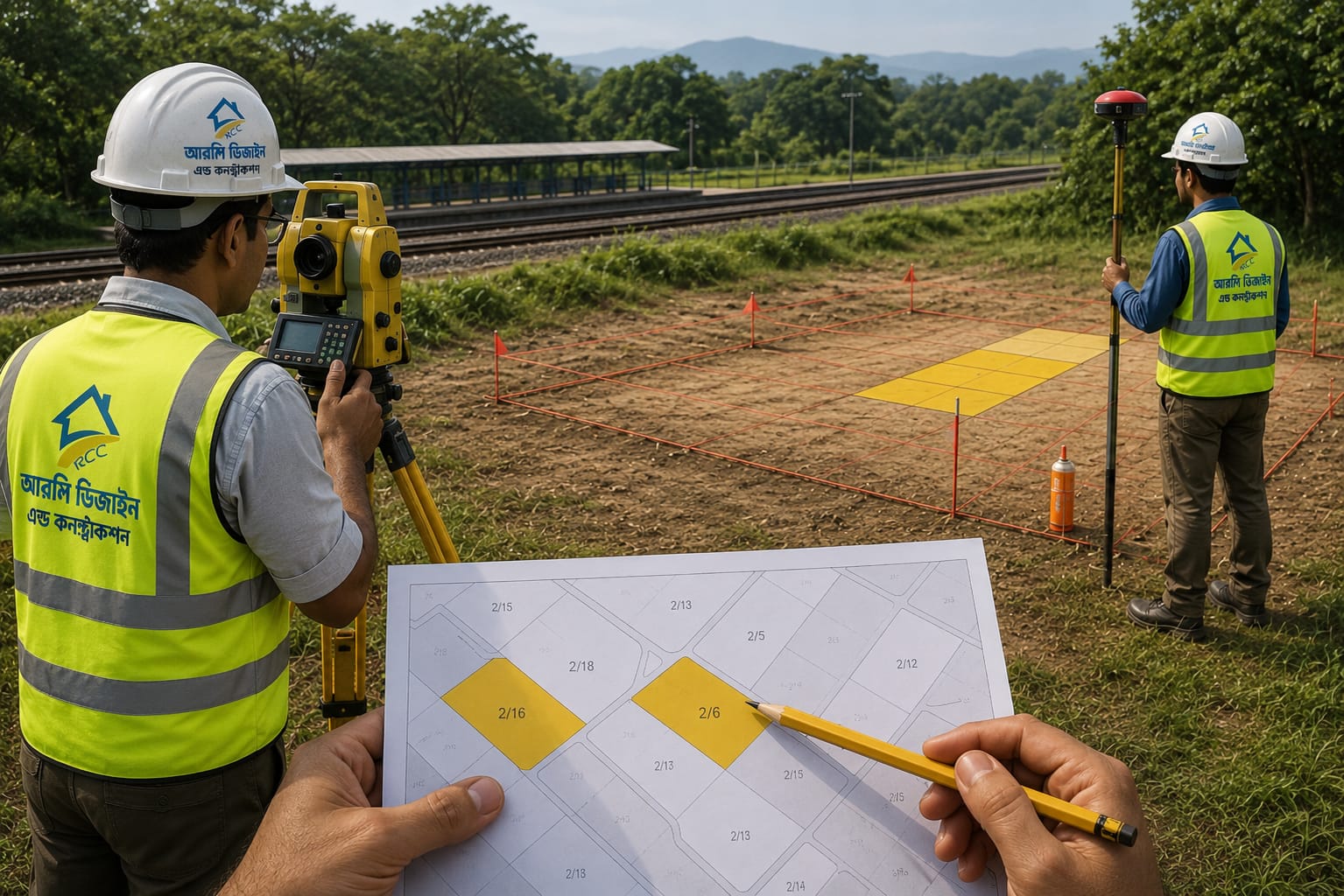
Mouza Map Matching
Verification and matching of land boundaries with official Mouza maps to ensure accurate land identification, planning, and legal compliance.
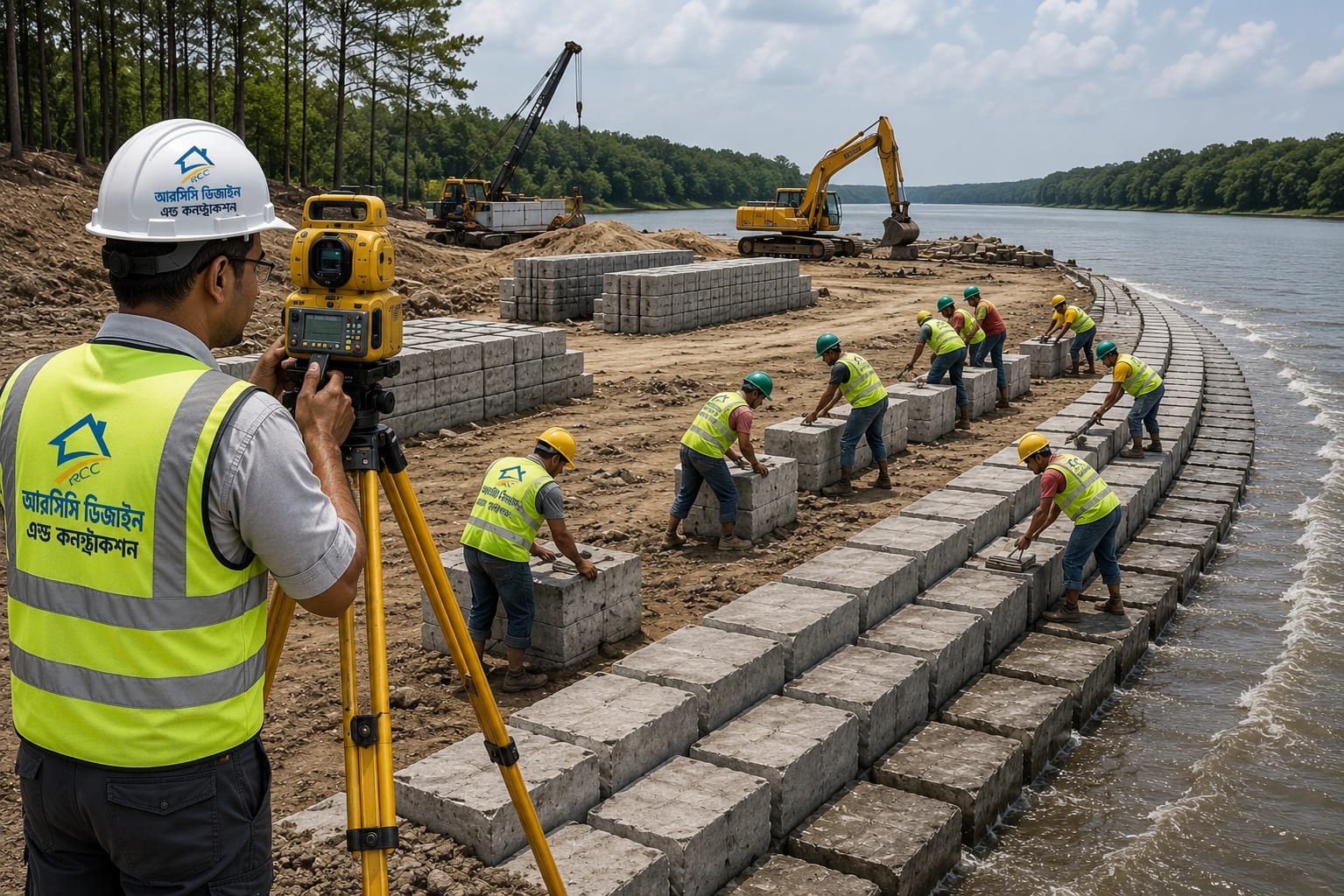
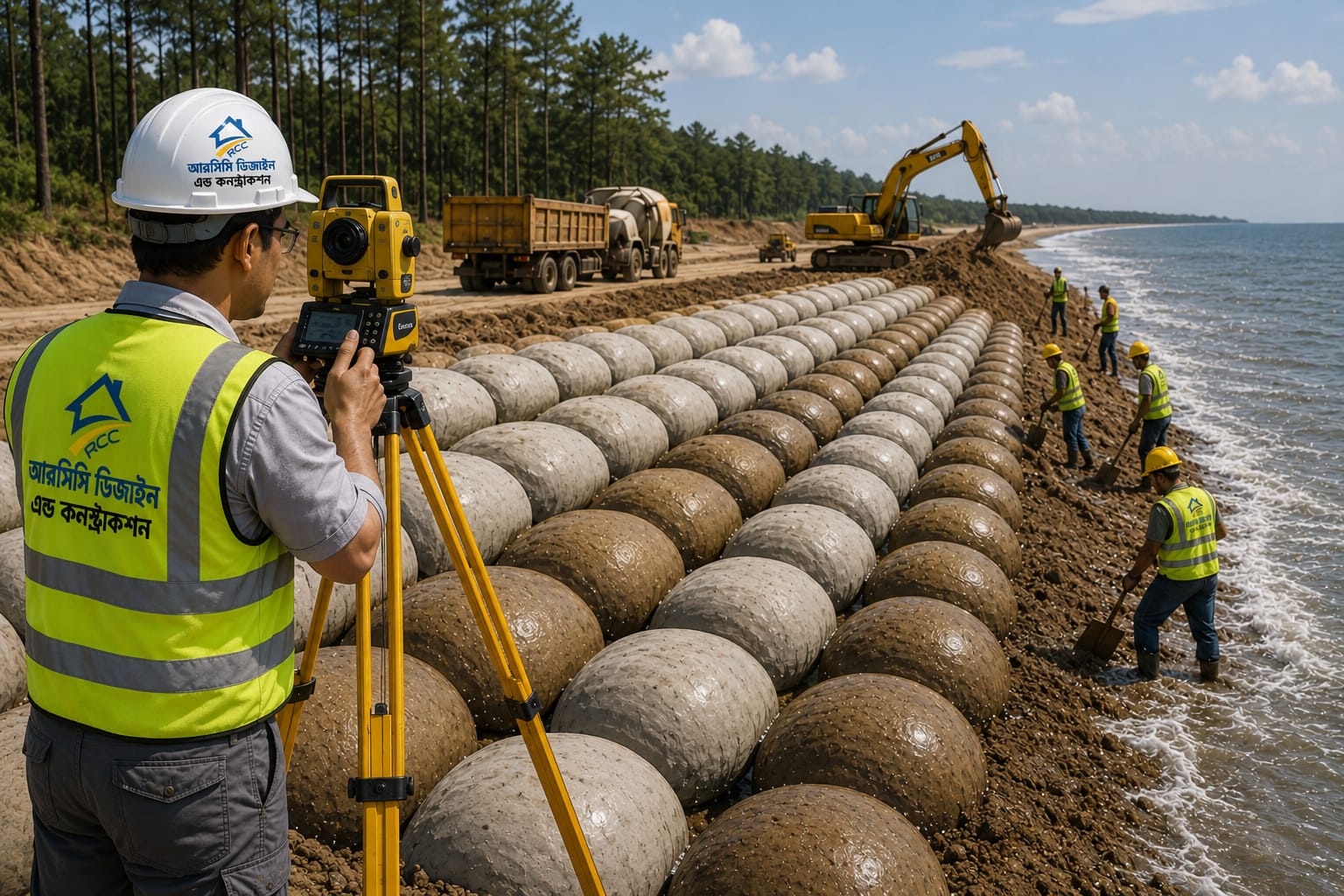
Geo-Bag & CC Block Dumping & Placement
Survey-based positioning and monitoring of Geo-Bags and Concrete (CC) Blocks for river protection, embankment strengthening, and erosion control projects.
Let's bulid something great together!
Don’t wait any longer to bring your construction dreams to life. Partner with Builtup and experience unparalleled service and quality.